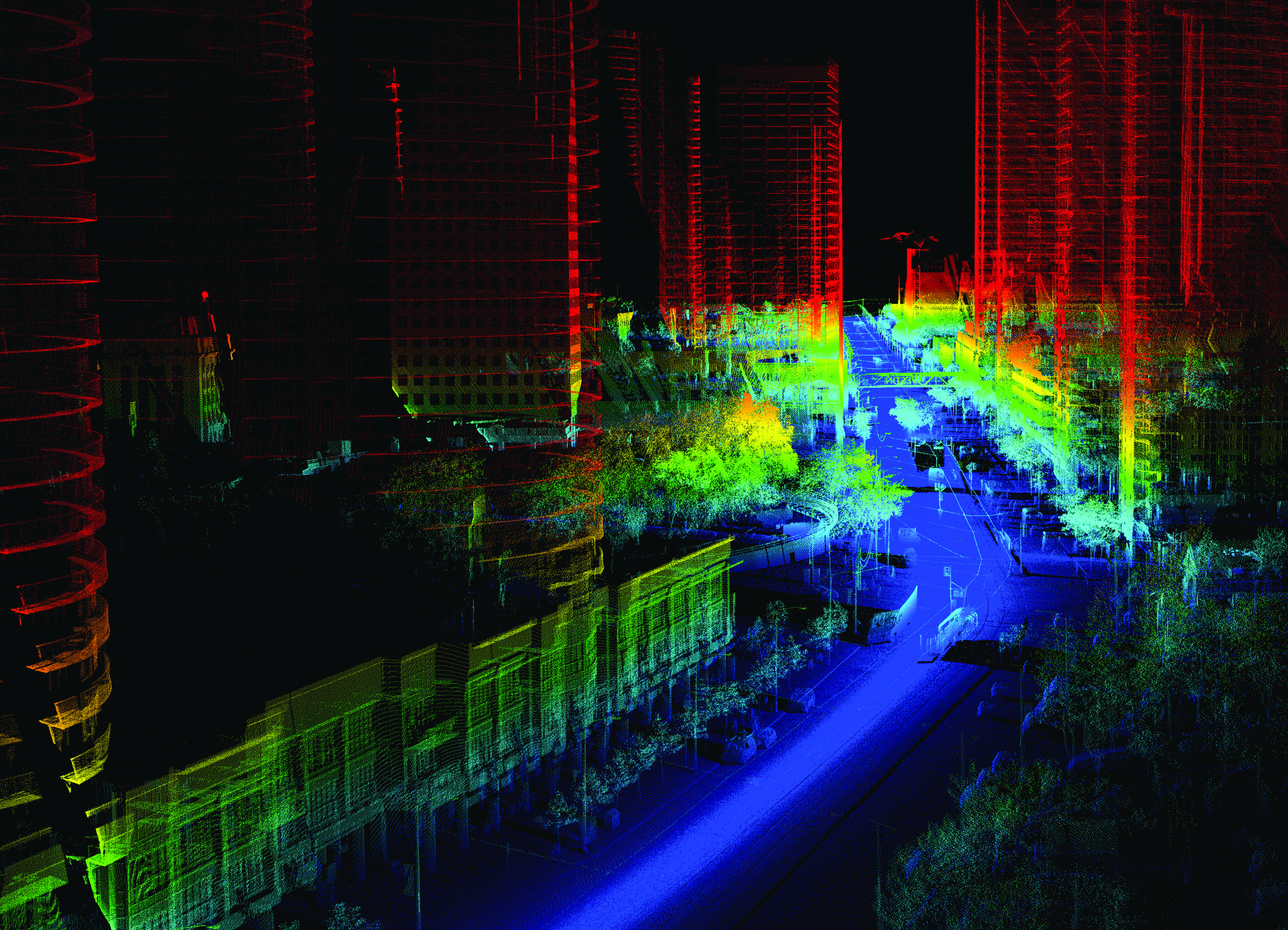
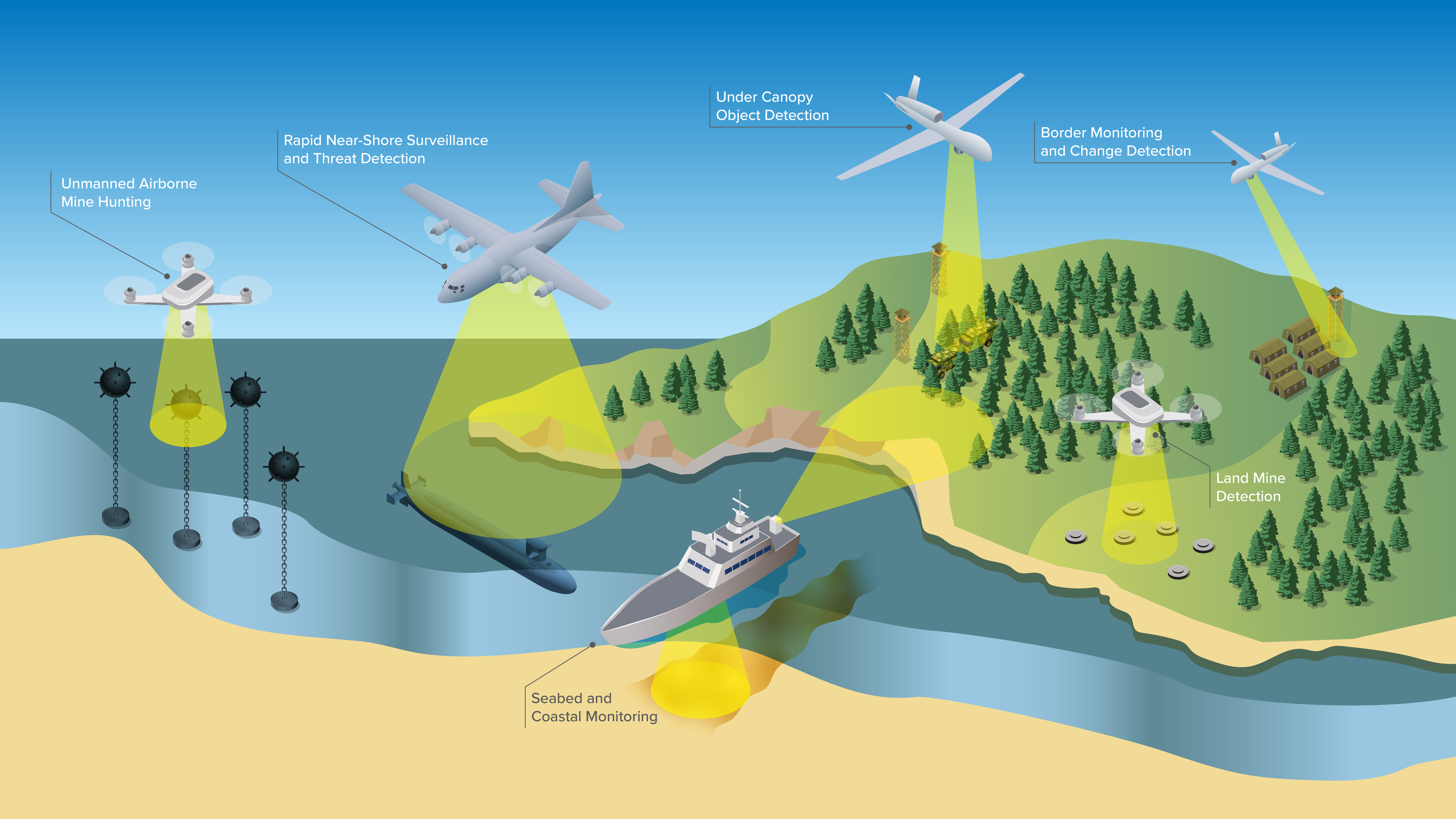
Powerful Lidar Solutions, Real-Time Automation
Long-range, high-resolution lidar sensors are capable of operation during the day or night to see the invisible on the ground, below canopy, and underwater. Extend traditional EO/IR missions to identify hidden objects beneath canopy, accelerate object and change detection missions, and expand high-altitude ISR missions by leveraging unique point and zoom capability to monitor borders, detect trails, breaches, and any other hidden disturbances.

Other (9)
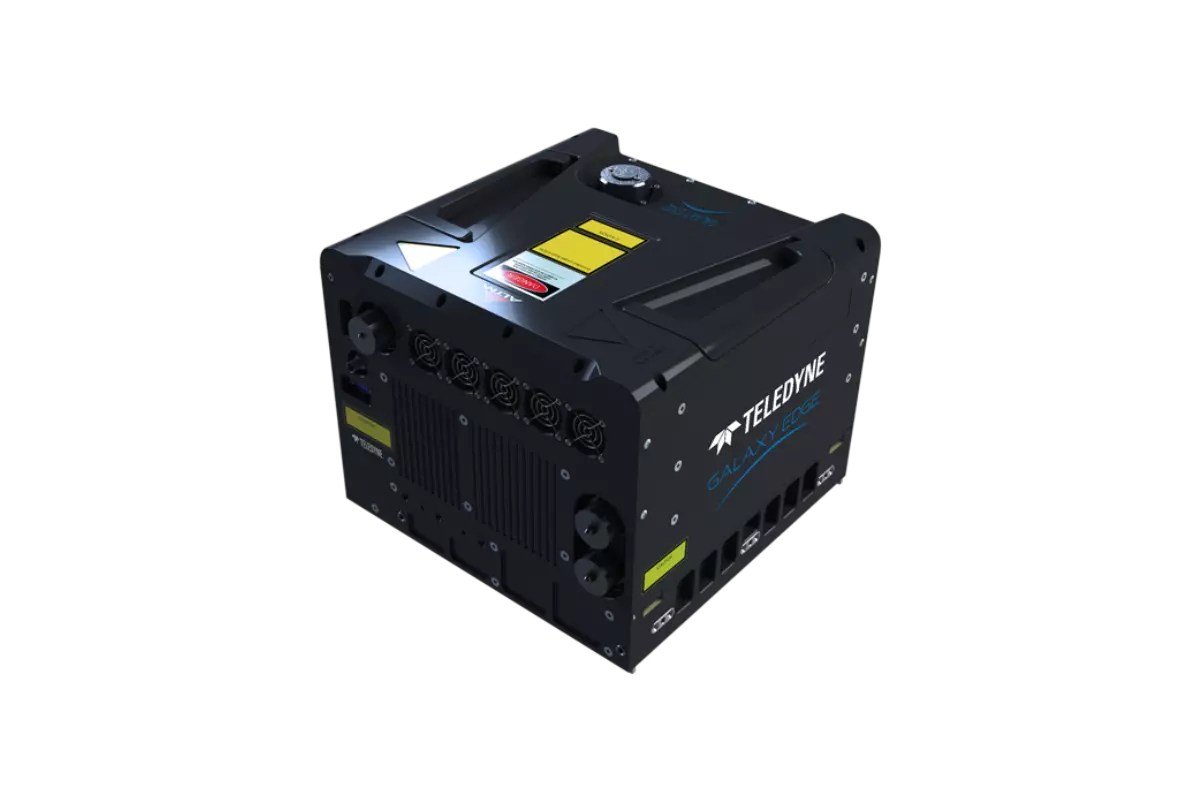
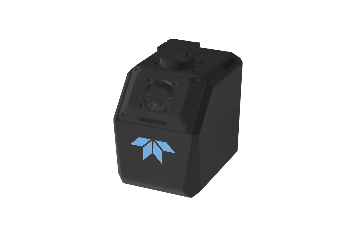
CMS V500
Fully portable lidar system for the commercial survey, engineering, mining and industrial markets.
See Product
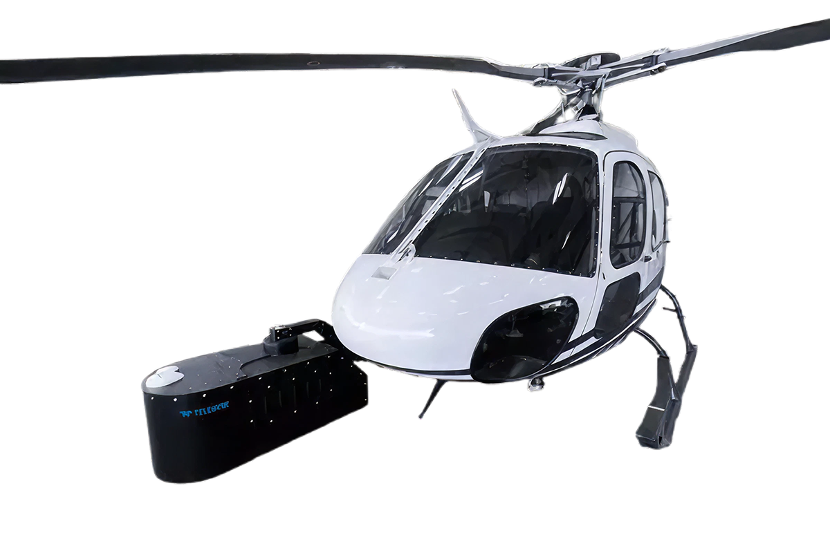
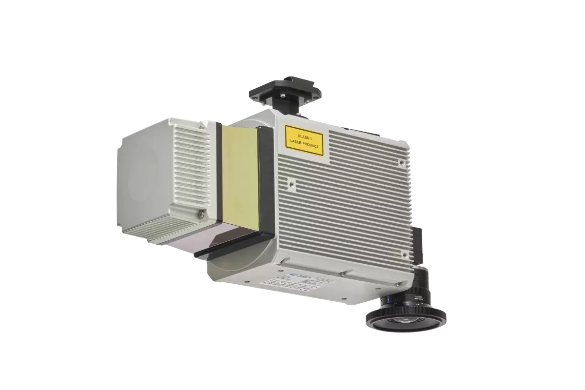
EchoONE
Long-range and lightweight. The secure, lightweight real-time airborne laser scanner
See Product