
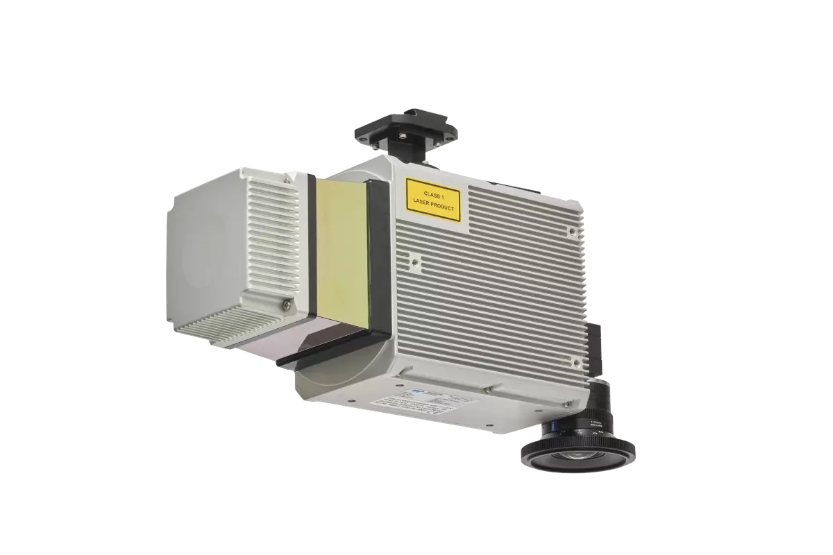
CLS-A
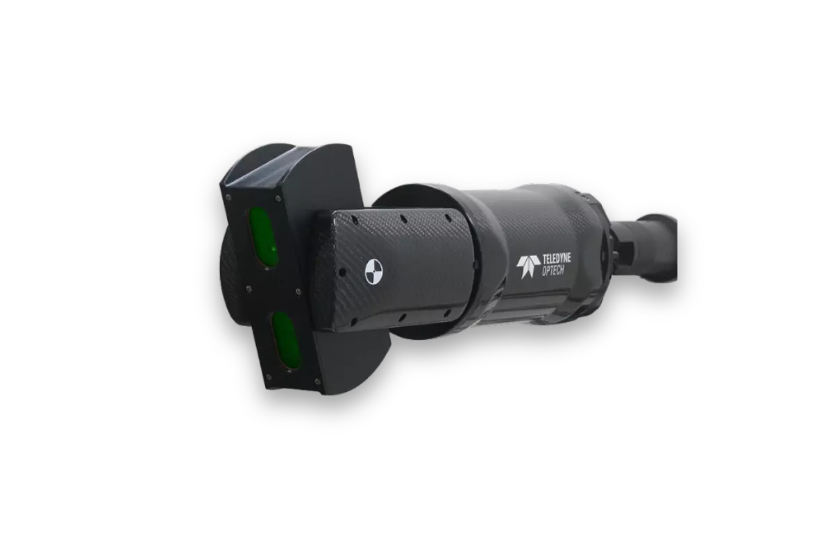
The Optech CLS-A is a survey-grade UAV laser scanning payload enabling the highest quality in surveying and inspection applications. The tight integration of a powerful, narrow beam divergence laser, high accuracy kinematic IMU, calibrated camera and powerful post-processing software provides for wide area operation at the maximum operating altitude of UAVs.
Features
High-Quality Data
Fly at Maximum Height
Proven Workflow
Product Support

Materials and Files
Export Restrictions
The information contained in this page pertains to products that may be subject to the International Traffic in Arms Regulations (ITAR) (22 C.F.R. Sections 120-130) or the Export Administration Regulations (EAR) (15 C.F.R. Sections 730-774) depending upon specifications for the final product; jurisdiction and classification will be provided upon request.