
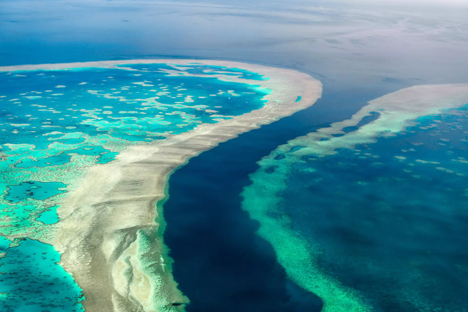
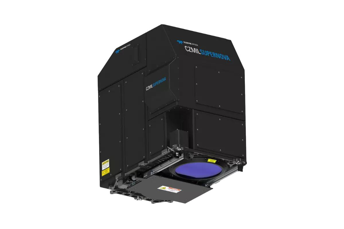
CZMIL SuperNova
CZMIL SuperNova can be programmed for maximum performance in a wide range of environments: topographic, inland waterways, coastal beaches, coral reefs and deep-water marine. Full waveform capture of land and water opens the door to a variety of data products beyond elevation and depth, such as object detection, water clarity maps, seafloor reflectance and vegetation maps (both on land and submerged).
Features
Programmable for Maximum Performance
Deep Water Capability
Superior land/water discrimination and depth resolution

Product Support
Materials and Files
Export Restrictions
The information contained in this page pertains to products that may be subject to the International Traffic in Arms Regulations (ITAR) (22 C.F.R. Sections 120-130) or the Export Administration Regulations (EAR) (15 C.F.R. Sections 730-774) depending upon specifications for the final product; jurisdiction and classification will be provided upon request.