


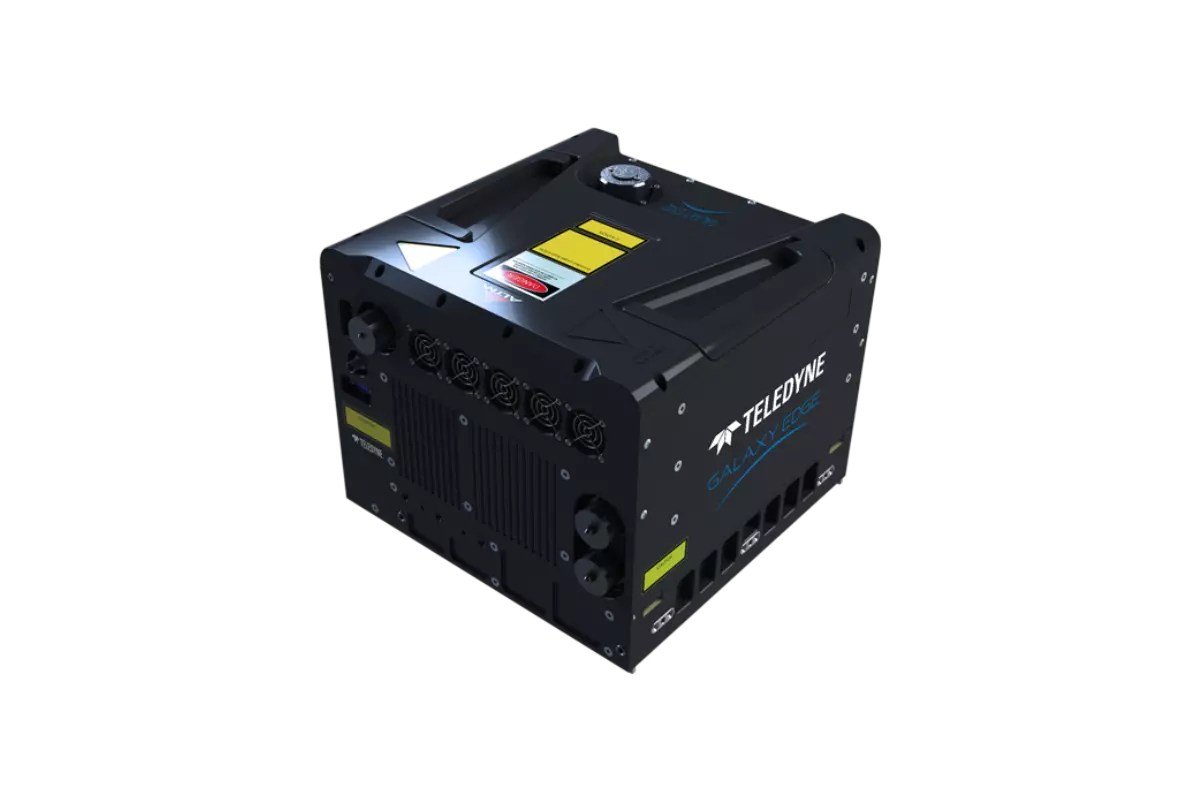
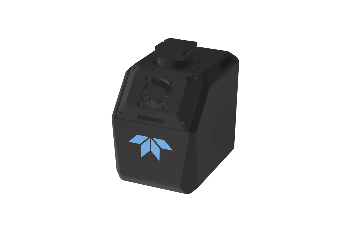
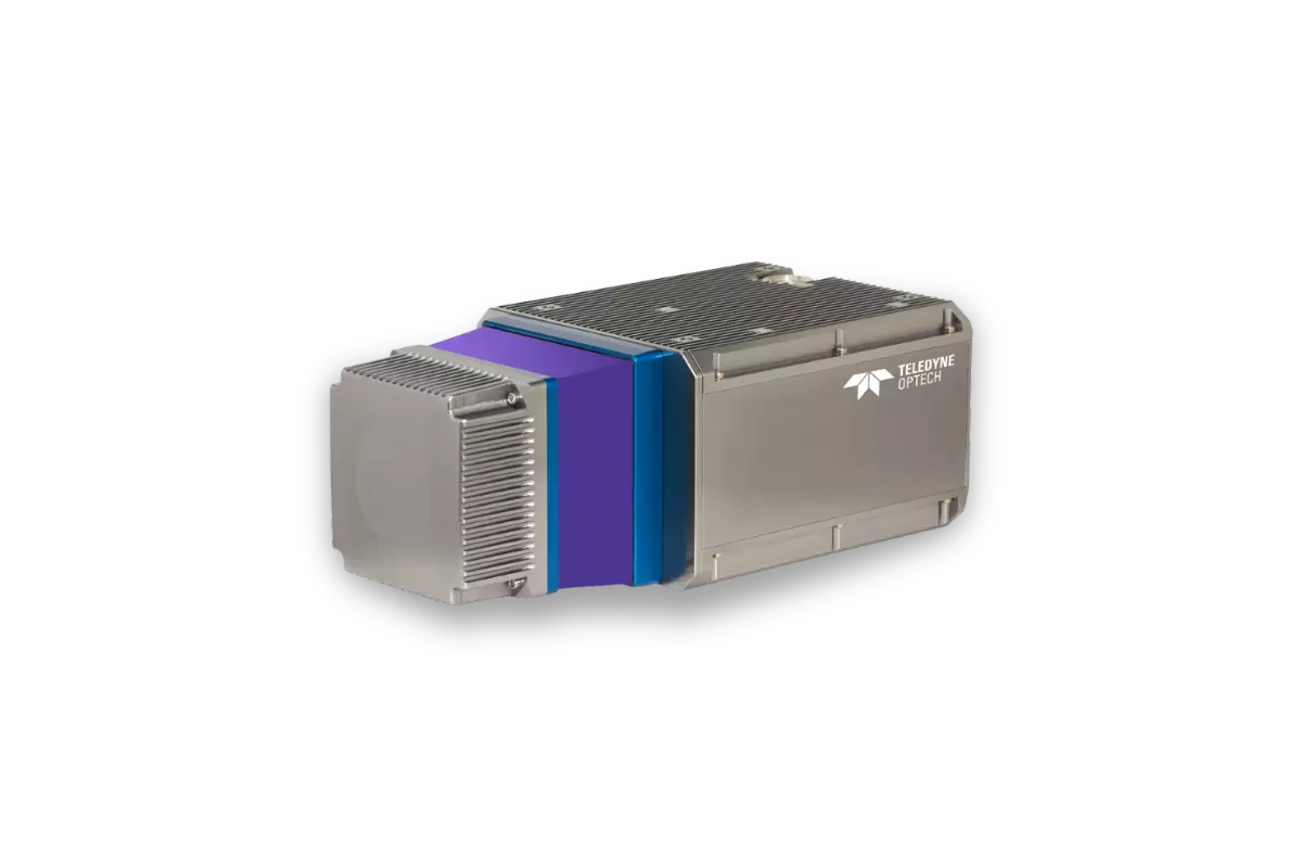
Fathom
Fathom effectively addresses challenges related to the cost and technical complexity of topo-bathymetric surveys by leveraging Optech's advancements in sensor miniaturization, real-time processing, and production workflow acceleration.Fathom was developed in response to feedback from government and engineering organizations identifying that crucial geospatial data is missing for the management of resources and infrastructure on land, intertidal zone, and seafloor.
Features
Miniaturized Sensor Design
Integrated Topo-Bathymetric Capability
Real-Time Data Processing
Streamlined Production Workflow
Cost-Effective Surveying Solution
Multi-Environment Adaptability
Proven Optech Heritage
Responding to Industry Needs
Product Support
Materials and Files
Export Restrictions
The information contained in this page pertains to products that may be subject to the International Traffic in Arms Regulations (ITAR) (22 C.F.R. Sections 120-130) or the Export Administration Regulations (EAR) (15 C.F.R. Sections 730-774) depending upon specifications for the final product; jurisdiction and classification will be provided upon request.