
AMM (Airborne Mission Manager)
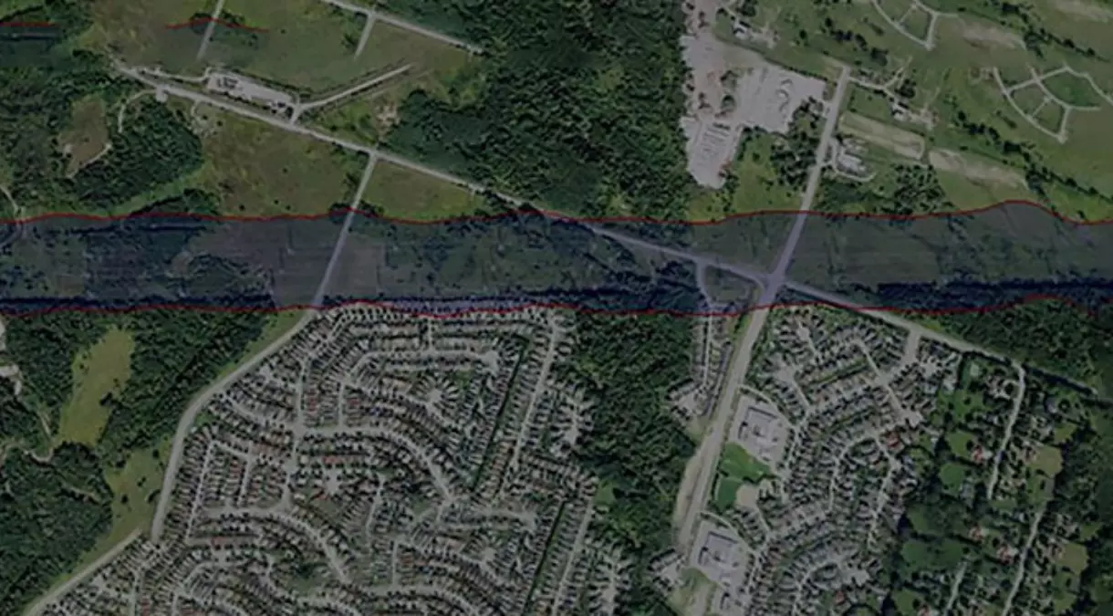
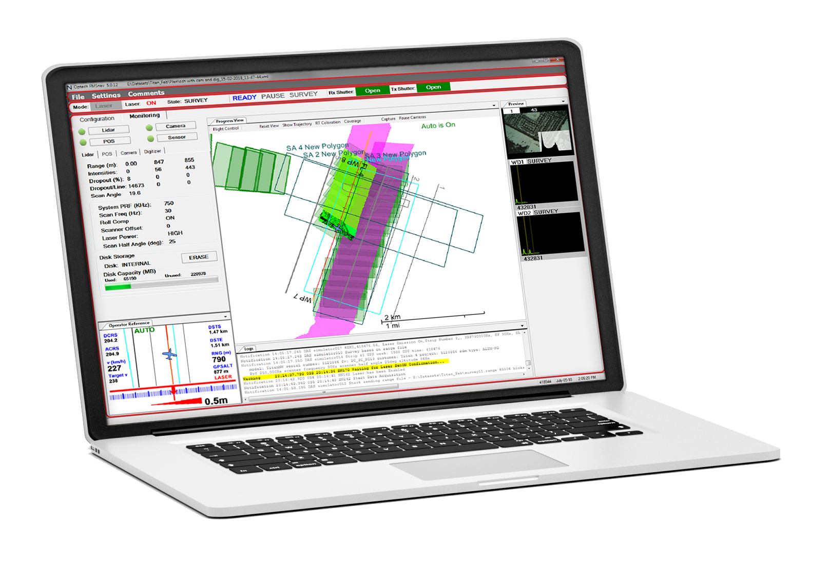
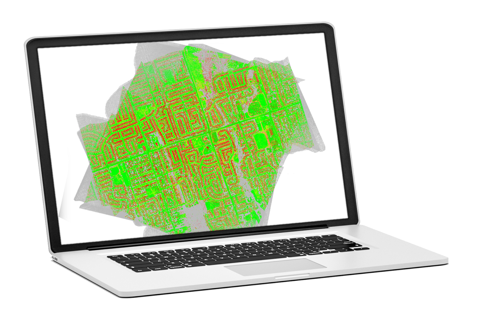
Airborne Mission Manager (AMM) is an advanced survey planning tool allows the creation, display, and editing of survey plans both graphically and manually, with the ability to import maps and files as needed. It offers independent control over flight line parameters and sensors, supports wide-area and corridor-based planning methods, and enables simultaneous DEM-based mission planning for lidar sensors with up to four cameras. Additionally, it features various camera trigger modes, a solar calculator for sun zenith angle planning, and comprehensive nadir and oblique camera planning capabilities.
Features
Create survey plans graphically or manually, importing maps and files
Create, display and edit survey polygons and individual flight lines
Create survey polygons that contain many parallel flight lines as well as individual flight lines


Export Restrictions
The information contained in this page pertains to products that may be subject to the International Traffic in Arms Regulations (ITAR) (22 C.F.R. Sections 120-130) or the Export Administration Regulations (EAR) (15 C.F.R. Sections 730-774) depending upon specifications for the final product; jurisdiction and classification will be provided upon request.